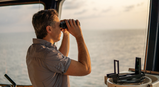
A vessel does not always sail in open seas. Often, they ply in narrower water bodies like rivers, channels or canals, shallower water regions close to the shore while approaching a port or a harbour for docking, and encounter deltas and estuaries. In other words, a very critical aspect of navigation involves restricted conditions where the vessel needs to adhere to certain constraints.
These constraints mean that a seafarer or navigator is not entirely free to navigate the vessel on his own accord, as many areas may be unnavigable and prohibited.
Flagging such zones as unnavigable may stem from a host of reasons:
- Due to the vicinity to the shore, the bathymetric conditions (hence, the low drafts available) are not congenial for a vessel to ply safely, as shallow depths pose a great risk of grounding and underwater hull damage.
- Submerged geography and topological restrictions are not favourable for sailing.
- Hydrodynamic problems like unfavourable wave-breaking and tidal behaviour, bad current patterns, whirlpools, streams, etc. that are not conducive for vessels.
- Traffic from other vessels (such as near a port or harbour).
- Presence of structures like bridges, dams, submerged cables, offshore wind farms, etc. along the prohibited route.
- Ecological limitations like natural habitats and environmentally sensitive areas need to be avoided.
- Regions close to human habitations or communities; parts of the water body used for fishing and aquaculture.
- The presence of economic, commercial, defence, governmental, or any other facility on or close to the shore that needs a certain margin of the surrounding water zone to be kept restricted.
- Any other potential danger or hazard in certain marked areas that need to be kept off bounds.


